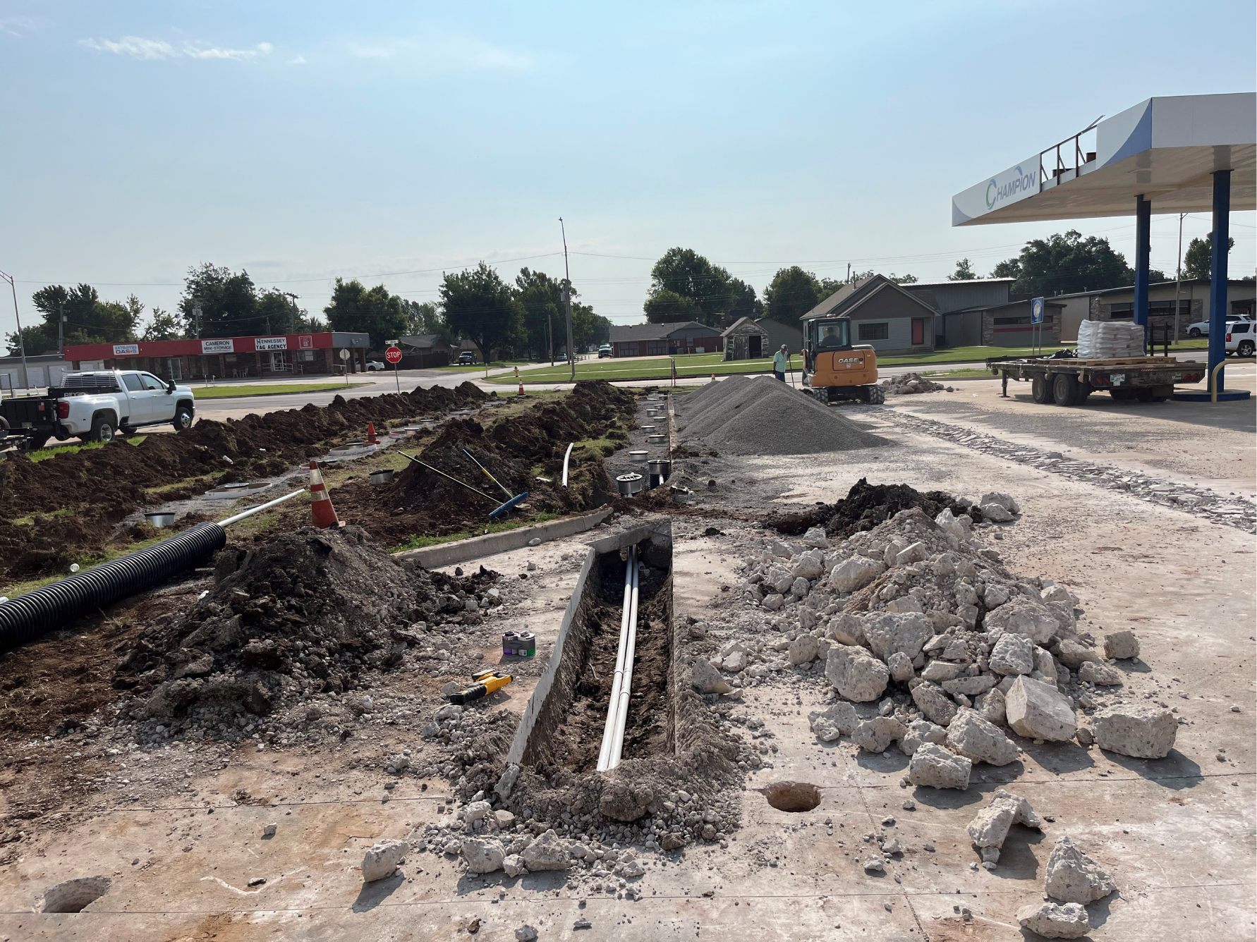
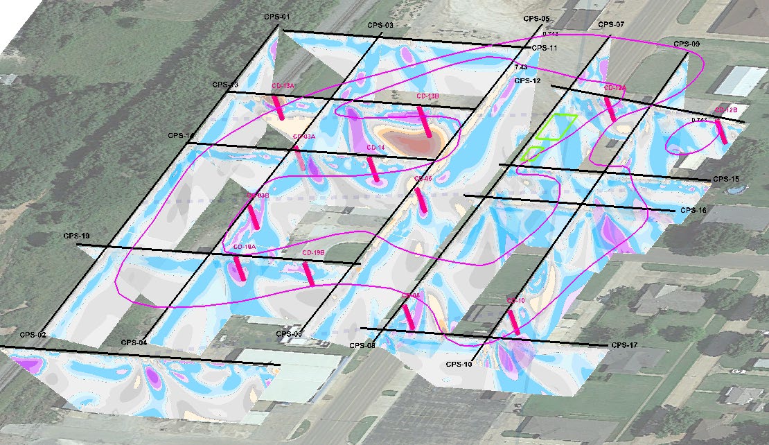
At this site, we were brought in to evaluate a large hydrocarbon release that ultimately turned out to be two comingled plumes spanning roughly four city blocks. Before committing to widespread drilling, we needed a clearer picture of what was happening underground.
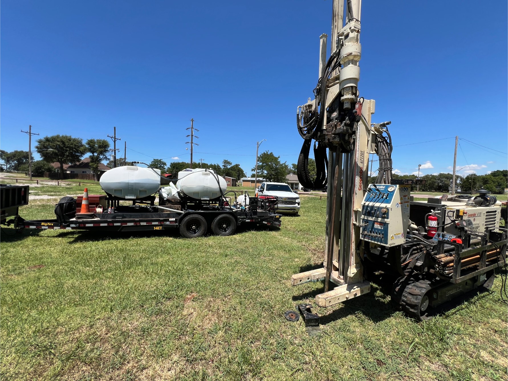
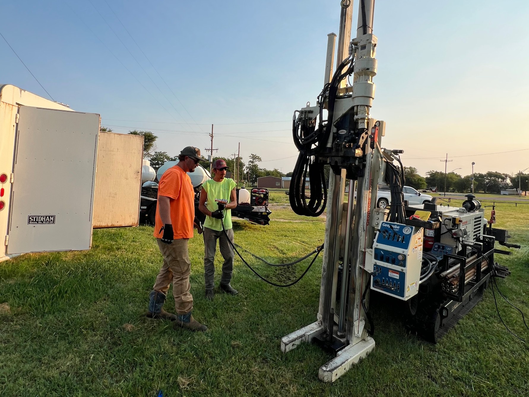
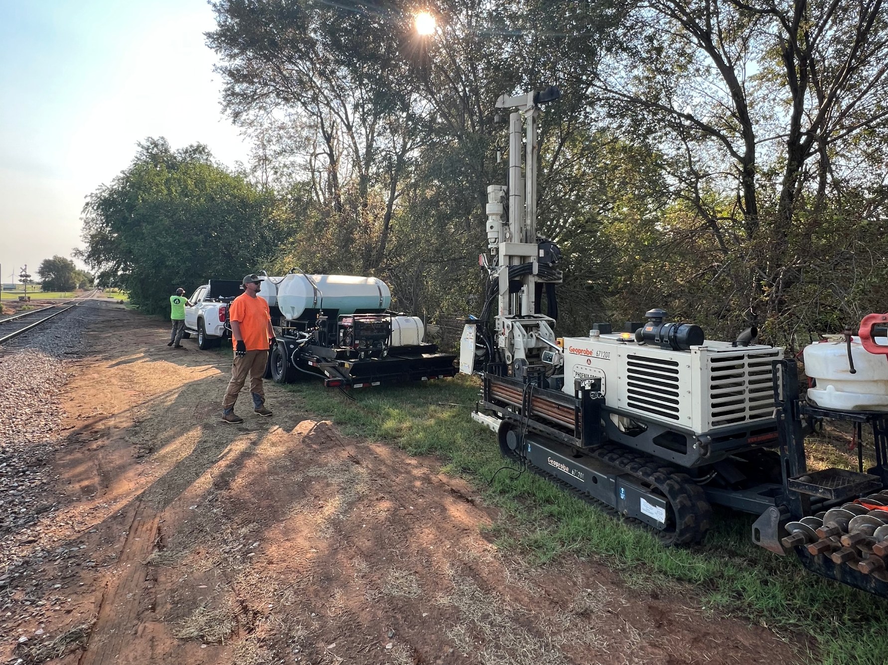
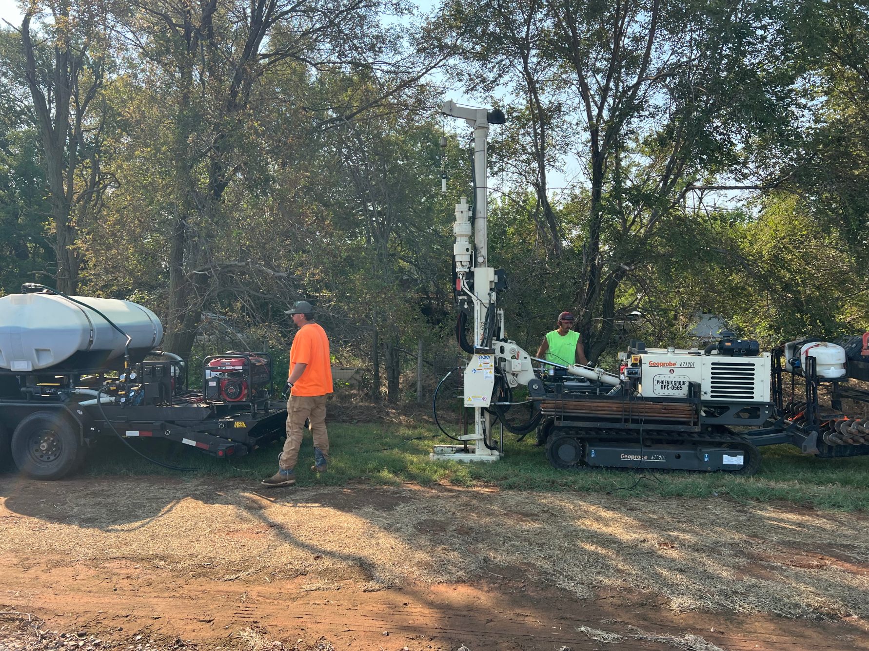
We performed an electrical resistivity survey to map subsurface conditions and guide our next steps. We drove a series of rods into the ground, connected them to our equipment, and sent electrical pulses at different depths and distances. Those readings allowed us to build a geologic model showing the resistive and conductive zones beneath the site.
With that model in hand — and supported by targeted confirmation wells — we were able to pinpoint the true extent of contamination and identify the overlapping plumes driving the size of the impacted area. Using resistivity early in the process helped us reduce unnecessary drilling, focus our assessment work, and establish accurate targets for remediation.